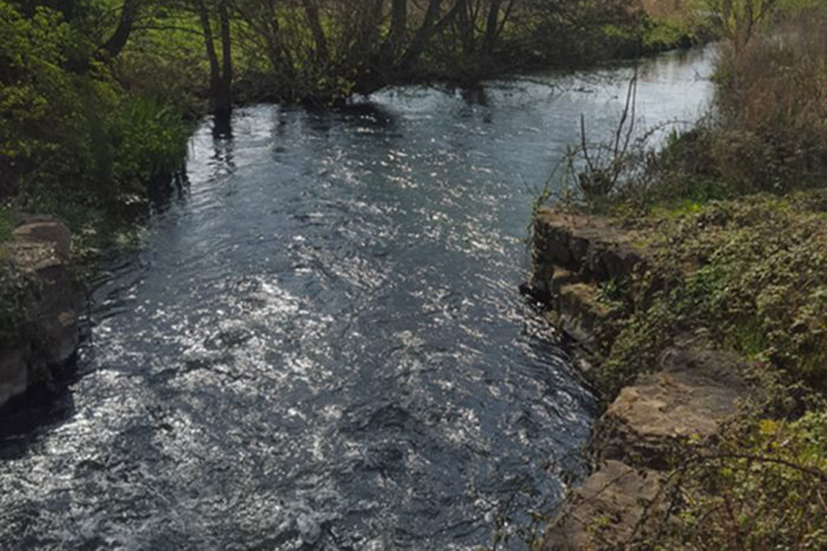
Our Ash Vale team was instructed by private clients to conduct a Flood Risk Assessment (FRA) for the site in Siddington, an area with a history of flooding, in order to secure planning application approval.
The project proposed the development of one additional residential property adjacent to the current property, to provide a new residence for the client’s family.
Some of the more major flooding events are contained below, from The Cotswold SFRA (level 2):
- December 1929 – Nine streets flooded after prolonged wet autumn.
- March 1947 – Parts of Cirencester flooded in snowmelt flood that affected the whole Thames catchment.
- 1990 – River Churn – several residential properties affected at Watermoor*.
- July 2007 – Estimated 15-20 properties flooded in Chesterton* area and 40-45 in Watermoor* and other areas plus 1-5 in Siddington. Flooding was from the River Churn and rapid surface water runoff.
- November/December 2012 – Around 45-50 properties flooded due to high levels in River Churn causing urban drainage network to back up.
- Winter 2013/14 – Similar flooding problems with high levels in River Churn causing urban drainage network to back up.